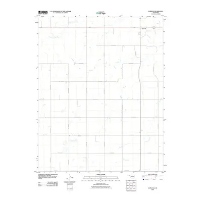
2010 Map of Elmwood
USGS Topo · Published 2010About this map
Elmwood sits at the intersection of local routes in this corner of Beaver County, representing a persistent settlement pattern in the Oklahoma Panhandle. This 2010 survey by the U. S. Geological Survey illustrates the grid-based land management of the region, where roads like Hollow N1360 and Hollow E0300 define the high plains landscape. The drainage of South Fork Clear Creek and Duck Pond Creek cuts through the terrain, providing the primary relief in an area otherwise dominated by agriculture and ranching. For those researching local family history, the Kirby Cemetery serves as a vital landmark near the intersection of Hollow E0330 and Hollow N1350, offering a tangible link to the early inhabitants of the Oklahoma territory.
Find a feature on this map
20 named features on this map. Tap any name to fly to it.
Don’t see what you’re looking for? This feature index may not catch every label — zoom into the map to look around manually.
Map Details
Editions of this 2010 Elmwood Map
This is the sole edition of this map. No revisions or reprints were ever made.
Other maps of this area

1954 · Perryton
USGS Topo · 1:250,000

1958 · Perryton
USGS Topo · 1:250,000

1971 · Clear Lake NW
USGS Topo · 1:24,000

1971 · Clear Lake SW
USGS Topo · 1:24,000

1972 · Gaylord
USGS Topo · 1:24,000

1973 · Booker
USGS Topo · 1:24,000

1973 · Balko
USGS Topo · 1:24,000

1973 · Balko NE
USGS Topo · 1:24,000

1973 · Elmwood
USGS Topo · 1:24,000

1973 · Balko SW
USGS Topo · 1:24,000