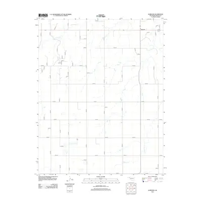
2012 Map of Elmwood
USGS Topo · Published 2012About this map
Elmwood serves as the primary settlement hub in this section of the Oklahoma Panhandle, situated at a junction of regional transit. The landscape is defined by the high plains of Beaver County, where drainage networks like S Fork Clear Cr and Duck Pond Cr carve subtle patterns across the terrain. A significant genealogical point of interest is the Kirby Cem, located in the southwestern portion of the quadrangle. The map captures a strictly organized grid of section roads, including n1360 RD and e0310 RD, which facilitate agricultural movement throughout the region. This 2012 survey illustrates the enduring rural character of the area, where water features and small local landmarks remain the primary orientation points for residents and historians.
Find a feature on this map
45 named features on this map. Tap any name to fly to it.
Don’t see what you’re looking for? This feature index may not catch every label — zoom into the map to look around manually.
Map Details
Editions of this 2012 Elmwood Map
This is the sole edition of this map. No revisions or reprints were ever made.
Other maps of this area

1954 · Perryton
USGS Topo · 1:250,000

1958 · Perryton
USGS Topo · 1:250,000

1971 · Clear Lake NW
USGS Topo · 1:24,000

1971 · Clear Lake SW
USGS Topo · 1:24,000

1972 · Gaylord
USGS Topo · 1:24,000

1973 · Booker
USGS Topo · 1:24,000

1973 · Balko
USGS Topo · 1:24,000

1973 · Balko NE
USGS Topo · 1:24,000

1973 · Elmwood
USGS Topo · 1:24,000

1973 · Balko SW
USGS Topo · 1:24,000