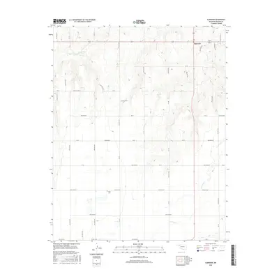
2016 Map of Elmwood
USGS Topo · Published 2016About this map
Elmwood serves as the primary focal point of this high-plains landscape, situated at the intersection of several regional routes in the northeastern corner of the sheet. The terrain is defined by a series of north-south drainage features, most notably Duck Pond Cr and the S Fork Clear Cr. For family historians, the Kirby Cem is a significant local landmark, positioned along Hollow e0330. The grid-based road system, including Co RD A 13500 and various East-West routes such as Ew-30, reflects the structured agricultural development of Beaver County. The map details the transition from flat upland plains into the dissected breaks surrounding the creek beds, providing a clear view of the rural infrastructure and land management patterns of the mid-2010s.
Find a feature on this map
40 named features on this map. Tap any name to fly to it.
Don’t see what you’re looking for? This feature index may not catch every label — zoom into the map to look around manually.
Map Details
Editions of this 2016 Elmwood Map
This is the sole edition of this map. No revisions or reprints were ever made.
Other maps of this area

1954 · Perryton
USGS Topo · 1:250,000

1958 · Perryton
USGS Topo · 1:250,000

1971 · Clear Lake NW
USGS Topo · 1:24,000

1971 · Clear Lake SW
USGS Topo · 1:24,000

1972 · Gaylord
USGS Topo · 1:24,000

1973 · Booker
USGS Topo · 1:24,000

1973 · Balko
USGS Topo · 1:24,000

1973 · Balko NE
USGS Topo · 1:24,000

1973 · Elmwood
USGS Topo · 1:24,000

1973 · Balko SW
USGS Topo · 1:24,000