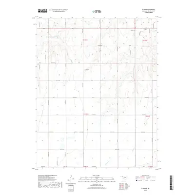
2018 Map of Elmwood
USGS Topo · Published 2018About this map
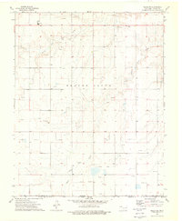
Elmwood serves as the primary focal point in this portion of Beaver County, situated within the High Plains landscape of the Oklahoma Panhandle. The map documents a classic section-line road network, including arterial routes such as Co RD A 13500 and various East-West corridors like Ew-28 and Ew-35. This grid-based development pattern is a hallmark of the region's agricultural history, defining how the land was settled and managed across townships like t2n r23e.
Find a feature on this map
17 named features on this map. Tap any name to fly to it.
Don’t see what you’re looking for? This feature index may not catch every label — zoom into the map to look around manually.
Map Details
Editions of this 2018 Elmwood Map
This is the sole edition of this map. No revisions or reprints were ever made.
Other maps of this area

1954 · Perryton
USGS Topo · 1:250,000

1958 · Perryton
USGS Topo · 1:250,000
1971 · Clear Lake NW
USGS Topo · 1:24,000
1971 · Clear Lake SW
USGS Topo · 1:24,000
1972 · Gaylord
USGS Topo · 1:24,000
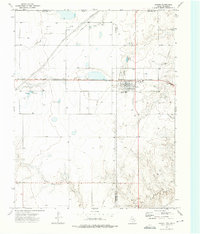
1973 · Booker
USGS Topo · 1:24,000
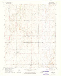
1973 · Balko
USGS Topo · 1:24,000
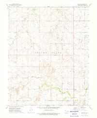
1973 · Balko NE
USGS Topo · 1:24,000
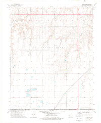
1973 · Elmwood
USGS Topo · 1:24,000
1973 · Balko SW
USGS Topo · 1:24,000