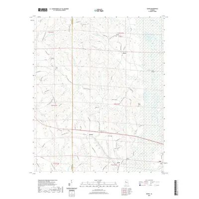
2020 Map of Elrod
USGS Topo · Published 2020About this map
The Sipsey River meanders across this West Alabama landscape, defining the boundary between Pickens and Tuscaloosa counties. Small rural settlements like Elrod and Buhl anchor the southern portion of the area, while Holman and Echola sit further north along a network of county roads. The terrain is marked by numerous family and community landmarks, including Mount Nebo Cem near Elrod and the Wilburn Cem situated in the central woodlands.
Find a feature on this map
95 named features on this map. Tap any name to fly to it.
Don’t see what you’re looking for? This feature index may not catch every label — zoom into the map to look around manually.
Map Details
Editions of this 2020 Elrod Map
This is the sole edition of this map. No revisions or reprints were ever made.
Other maps of this area
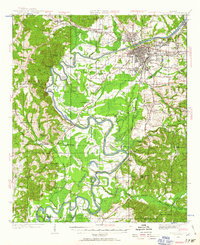
1924 · Tuscaloosa
USGS Topo · 1:62,500
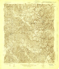
1926 · Samantha
USGS Topo · 1:48,000
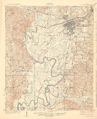
1926 · Tuscaloosa
USGS Topo · 1:62,500
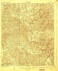
1928 · Samantha
USGS Topo · 1:62,500

1953 · Birmingham
USGS Topo · 1:250,000

1956 · Birmingham
USGS Topo · 1:250,000

1957 · Birmingham
USGS Topo · 1:250,000
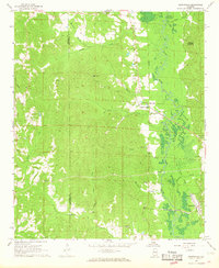
1967 · Brownville
USGS Topo · 1:24,000
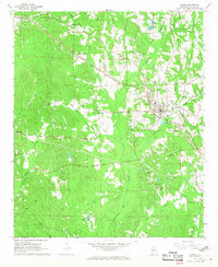
1967 · Gordo
USGS Topo · 1:24,000
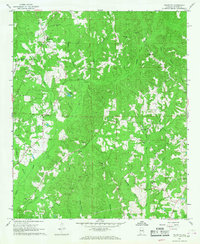
1967 · Palmetto
USGS Topo · 1:24,000