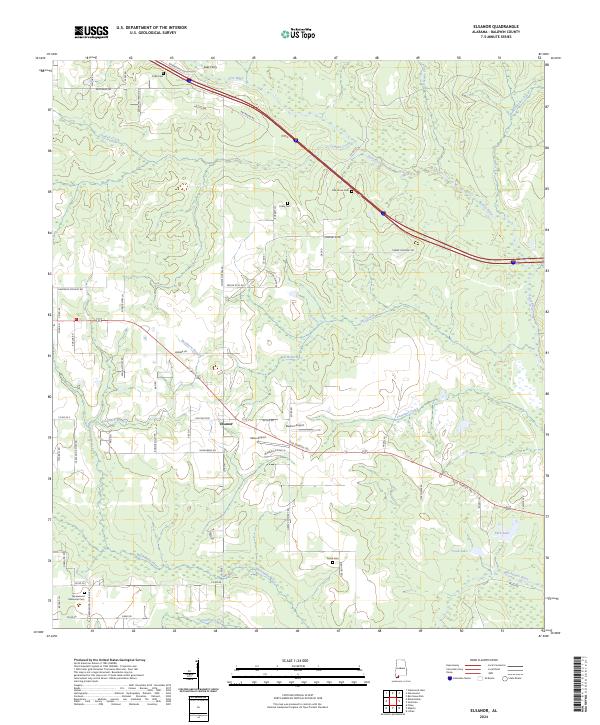
2024 Map of Elsanor
USGS Topo · Published 2024About this map
Styx River and Blackwater River define the hydraulic character of this Baldwin County landscape, where the settlement of Elsanor serves as a central hub. This modern survey illustrates a region where local transit history is layered, from the path of the Old Spanish Trl to the aviation presence at Elsanor Airport and Velox Airport. The map is particularly valuable for genealogical research, noting several family and community burial grounds including Foley Cem, Oak Grove Cem, and Greenwood Memorial Cem. North of the main settlement, Lees Ferry marks a traditional crossing point on the river, while numerous branches like Buckhorn Branch and Beetree Creek drain the surrounding timberlands and agricultural plots. The road network, featuring names like Taylor Still Rd and Sawmill Rd, reflects the area's long-standing connection to the lumber industry.
Find a feature on this map
71 named features on this map. Tap any name to fly to it.
Don’t see what you’re looking for? This feature index may not catch every label — zoom into the map to look around manually.
Map Details
Editions of this 2024 Elsanor Map
This is the sole edition of this map. No revisions or reprints were ever made.
Other maps of this area

1920 · Robertsdale
USGS Topo · 1:62,500

1921 · Bon Secour
USGS Topo · 1:62,500

1921 · Fort Barrancas
USGS Topo · 1:62,500

1921 · Muscogee
USGS Topo · 1:62,500

1941 · Fort Barrancas
USGS Topo · 1:62,500

1941 · Muscogee
USGS Topo · 1:62,500

1941 · Robertsdale
USGS Topo · 1:62,500

1941 · Foley
USGS Topo · 1:62,500

1943 · Robertsdale
USGS Topo · 1:62,500

1943 · Muscogee
USGS Topo · 1:62,500