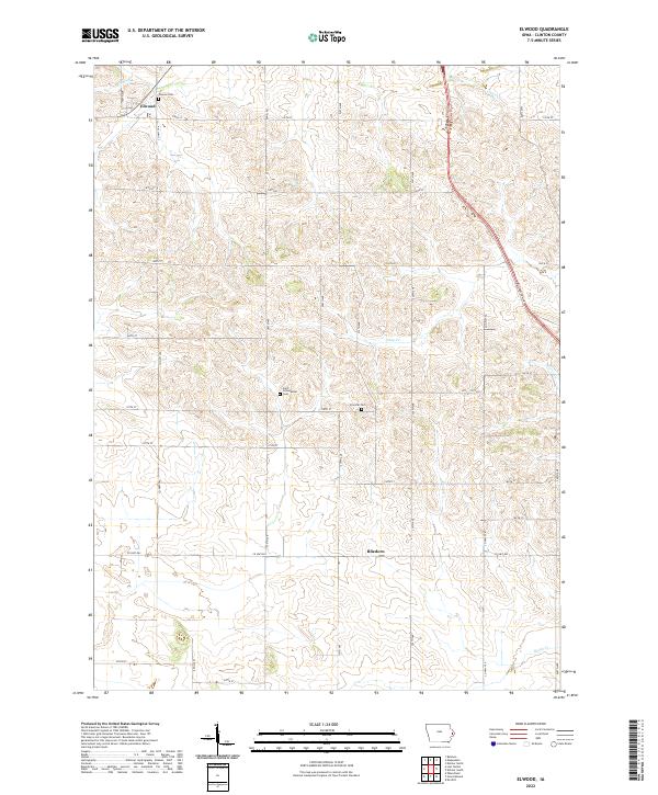
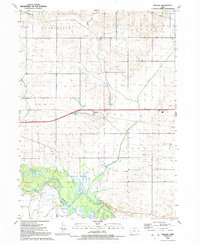
2022 Map of Elwood
USGS Topo · Published 2022About this map
Elwood and the smaller settlement of Bliedorn anchor this modern survey of western Clinton County, showcasing the enduring rectangular survey system that defines rural Iowa. The landscape is carved by a network of drainage ways, including Elwood Cr, Deep Cr, and Berlin Cr, which wind through the township grids.
Find a feature on this map
39 named features on this map. Tap any name to fly to it.
Don’t see what you’re looking for? This feature index may not catch every label — zoom into the map to look around manually.
Map Details
Editions of this 2022 Elwood Map
This is the sole edition of this map. No revisions or reprints were ever made.
Historical Maps of Elwood Through Time
12 maps found
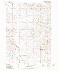
1953 De Witt
Clinton County, IA
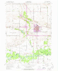
1953 Malone
Clinton County, IA
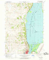
1967 Clinton NW
Clinton County, IA
1980 Delmar South
Clinton County, IA
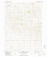
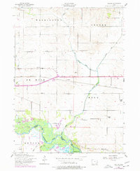
1980 Elwood
Clinton County, IA
1991 De Witt
Clinton County, IA
1991 Malone
Clinton County, IA
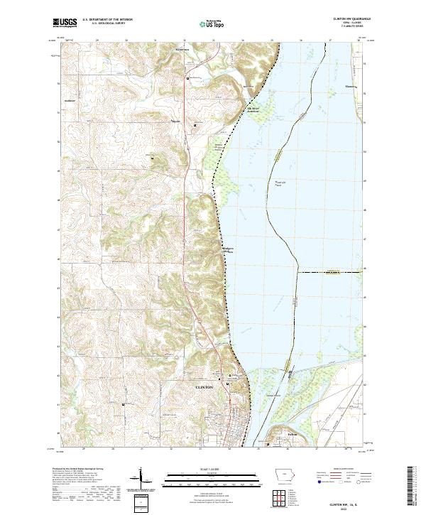
2022 Clinton NW
Clinton County, IA
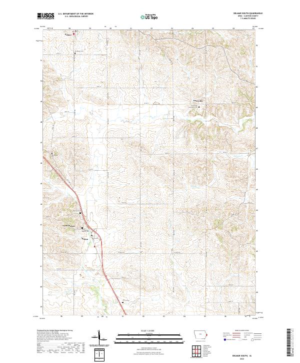
2022 Delmar South
Clinton County, IA
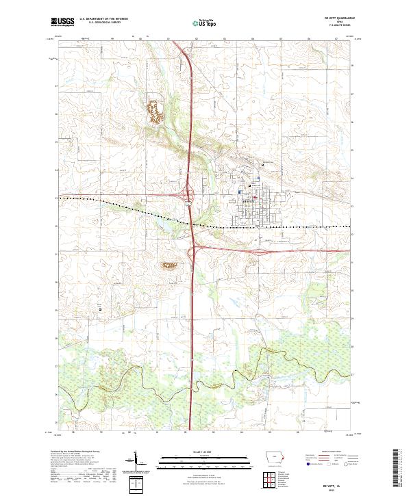
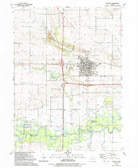
2022 De Witt
Clinton County, IA
2022 Elwood
Clinton County, IA
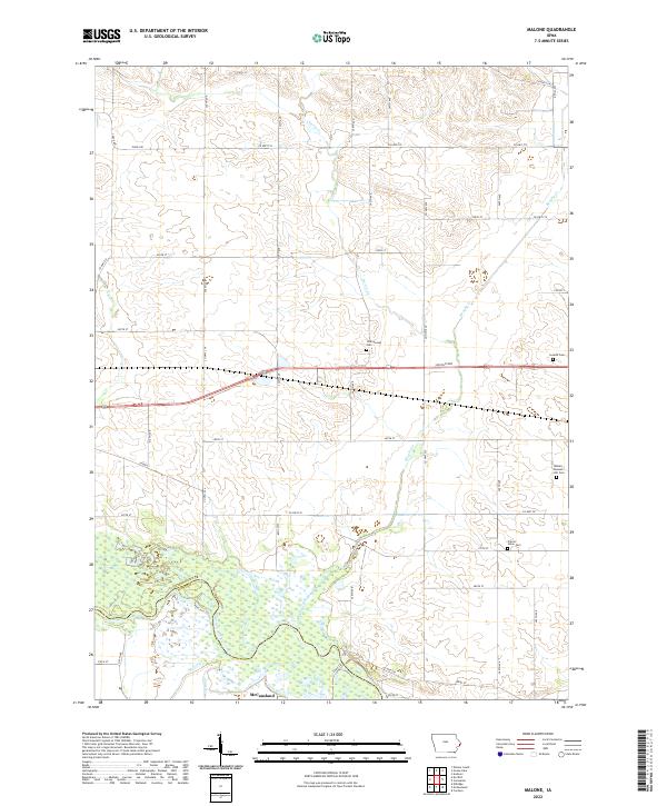
2022 Malone
Clinton County, IA