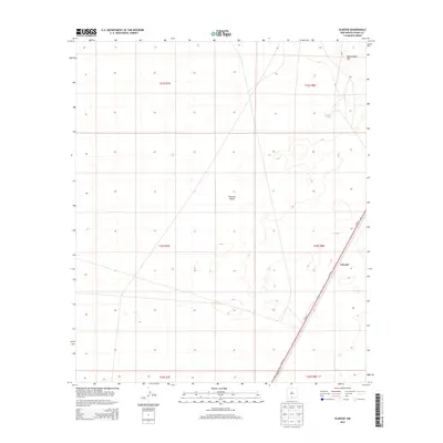
2013 Map of Elwood
USGS Topo · Published 2013About this map
Tularosa Valley defines the geography of this southern New Mexico desert region, characterized by a grid of Public Land Survey System townships and ranges. The settlement of Elwood appears as a small node of activity along the corridor of Us-54 N and Us-54 S, which provides the primary north-south transit route through the arid basin. Topographical variation is minimal across the valley floor, save for the distinct prominence of Rattlesnake Hill in the northeastern portion of the sheet. Resource management in this dry landscape is evidenced by the inclusion of McNew S Tank, a localized water feature essential for ranching or land use. This 2013 survey provides a clear look at the intersection of modern transportation infrastructure and the historical land divisions of T22S through T24S.
Find a feature on this map
12 named features on this map. Tap any name to fly to it.
Don’t see what you’re looking for? This feature index may not catch every label — zoom into the map to look around manually.
Map Details
Editions of this 2013 Elwood Map
This is the sole edition of this map. No revisions or reprints were ever made.
Other maps of this area

1940 · Orogrande
USGS Topo · 1:62,500

1940 · Newman
USGS Topo · 1:62,500

1941 · Desert
USGS Topo · 1:62,500

1943 · Parker Lake
USGS Topo · 1:62,500

1943 · Desert
USGS Topo · 1:62,500

1943 · Newman
USGS Topo · 1:62,500

1943 · Orogrande
USGS Topo · 1:62,500

1947 · Desert NE
USGS Topo · 1:24,000

1947 · Orogrande North
USGS Topo · 1:24,000

1948 · El Wood
USGS Topo · 1:24,000