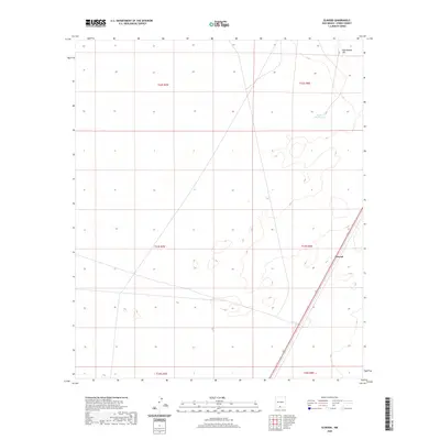
2020 Map of Elwood
USGS Topo · Published 2020About this map
Elwood sits in the high desert of Otero County, positioned along a major transportation corridor that cuts diagonally through the arid landscape. This 2020 survey highlights the sparse but essential water infrastructure of the region, including McNew South Tank, which serves as a critical waypoint in an area otherwise dominated by open terrain. The northern portion of the map is defined by the elevation of Rattlesnake Hill, a prominent topographical landmark in an area largely characterized by broad township and range divisions. The alignment of the secondary highway and local roads through Elwood reveals the modern connectivity of this remote section of New Mexico, providing a clear view of how transit and terrain dictate the layout of these desert settlements.
Find a feature on this map
9 named features on this map. Tap any name to fly to it.
Don’t see what you’re looking for? This feature index may not catch every label — zoom into the map to look around manually.
Map Details
Editions of this 2020 Elwood Map
This is the sole edition of this map. No revisions or reprints were ever made.
Other maps of this area

1940 · Orogrande
USGS Topo · 1:62,500

1940 · Newman
USGS Topo · 1:62,500

1941 · Desert
USGS Topo · 1:62,500

1943 · Parker Lake
USGS Topo · 1:62,500

1943 · Desert
USGS Topo · 1:62,500

1943 · Newman
USGS Topo · 1:62,500

1943 · Orogrande
USGS Topo · 1:62,500

1947 · Desert NE
USGS Topo · 1:24,000

1947 · Orogrande North
USGS Topo · 1:24,000

1948 · El Wood
USGS Topo · 1:24,000