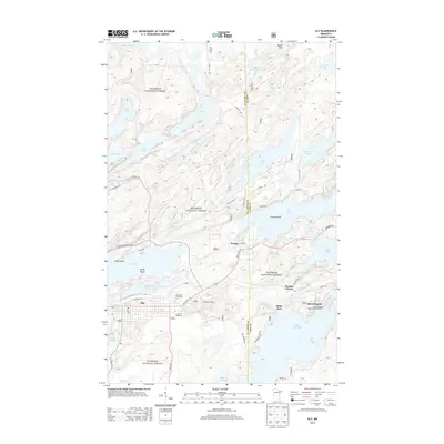
2013 Map of Ely
USGS Topo · Published 2013About this map
The gateway to the northern wilderness is anchored by the settlement of Ely, where the industrial legacy of the Iron Range meets the expansive waters of the Superior National Forest. Centered around Miners Lake and the Pioneer Tailings Basin, the landscape shows the footprint of historical mining operations alongside modern educational institutions like the Vermilion Community College. To the east, the village of Winton sits at the edge of Fall Lake, serving as a threshold to a complex chain of waterways including Garden Lake, Farm Lake, and White Iron Lake.
Find a feature on this map
62 named features on this map. Tap any name to fly to it.
Don’t see what you’re looking for? This feature index may not catch every label — zoom into the map to look around manually.
Map Details
Editions of this 2013 Ely Map
This is the sole edition of this map. No revisions or reprints were ever made.
Other maps of this area
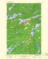
1933 · Ely
USGS Topo · 1:62,500
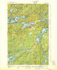
1939 · Ely
USGS Topo · 1:62,500
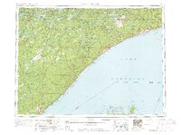
1954 · Two Harbors
USGS Topo · 1:250,000
1957 · Two Harbors
USGS Topo · 1:250,000
1957 · Gabbro Lake
USGS Topo · 1:62,500
1957 · Basswood Lake
USGS Topo · 1:62,500
1957 · Quetico
USGS Topo · 1:250,000
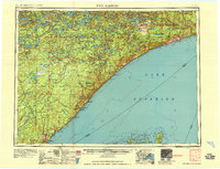
1958 · Two Harbors
USGS Topo · 1:250,000
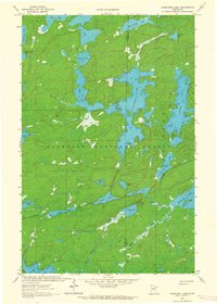
1963 · Fourtown Lake
USGS Topo · 1:24,000
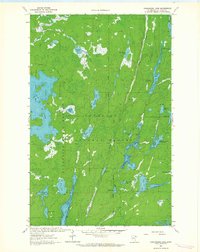
1963 · Angleworm Lake
USGS Topo · 1:24,000