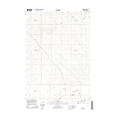
2015 Map of Emblem
USGS Topo · Published 2015About this map
Emblem, an unincorporated community in Big Horn County, is the focal point of this western Wyoming landscape where the Great Divide Basin meets the Bighorn Basin. The settlement and the elevated Emblem Bench are defined by the vital presence of water in a semi-arid environment, with irrigation and drainage patterns visible in the paths of Horse Cr and Dry Cr. The terrain is marked by significant erosion features including Emblem Draw and Foster Gulch, which cut through the township and range divisions.
Find a feature on this map
19 named features on this map. Tap any name to fly to it.
Don’t see what you’re looking for? This feature index may not catch every label — zoom into the map to look around manually.
Map Details
Editions of this 2015 Emblem Map
This is the sole edition of this map. No revisions or reprints were ever made.
Other maps of this area
1951 · Burlington
USGS Topo · 1:24,000
1951 · Y U Bench NE
USGS Topo · 1:24,000
1951 · Otto
USGS Topo · 1:24,000

1955 · Cody
USGS Topo · 1:250,000

1958 · Cody
USGS Topo · 1:250,000

1962 · Cody
USGS Topo · 1:250,000
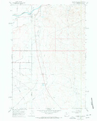
1966 · Gilmore Hill NE
USGS Topo · 1:24,000
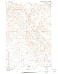
1966 · North Emblem Reservoir
USGS Topo · 1:24,000
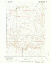
1966 · Gilmore Hill SE
USGS Topo · 1:24,000
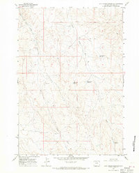
1966 · Jack Horner Reservoir
USGS Topo · 1:24,000