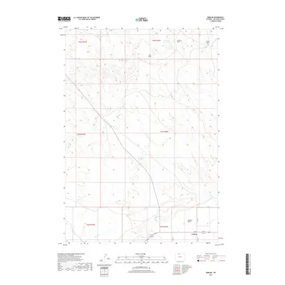
2017 Map of Emblem
USGS Topo · Published 2017About this map
Emblem sits at the southern edge of this high-plains landscape in Big Horn County, where the settlement is defined by its proximity to the wide, flat expanse of the Emblem Bench. This 2017 survey details a terrain carved by intermittent watercourses and seasonal drainages, reflecting the arid character of northern Wyoming. Significant geographical features like Emblem Draw, Sand Draw, and Foster Gulch cut through the sections, while the Sore Finger Reservoir in the northern reaches serves as a vital point of water collection. The map illustrates the gridded layout of township and range lines, intersected by a network of local routes including Co RD 9 and Co LN 33. These roads connect the sparse agricultural holdings and ranch lands that dominate the area, following the natural contours shaped by Horse Cr and Dry Cr.
Find a feature on this map
18 named features on this map. Tap any name to fly to it.
Don’t see what you’re looking for? This feature index may not catch every label — zoom into the map to look around manually.
Map Details
Editions of this 2017 Emblem Map
This is the sole edition of this map. No revisions or reprints were ever made.
Other maps of this area
1951 · Burlington
USGS Topo · 1:24,000
1951 · Y U Bench NE
USGS Topo · 1:24,000
1951 · Otto
USGS Topo · 1:24,000

1955 · Cody
USGS Topo · 1:250,000

1958 · Cody
USGS Topo · 1:250,000

1962 · Cody
USGS Topo · 1:250,000
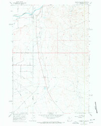
1966 · Gilmore Hill NE
USGS Topo · 1:24,000
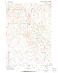
1966 · North Emblem Reservoir
USGS Topo · 1:24,000
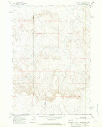
1966 · Gilmore Hill SE
USGS Topo · 1:24,000
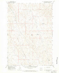
1966 · Jack Horner Reservoir
USGS Topo · 1:24,000