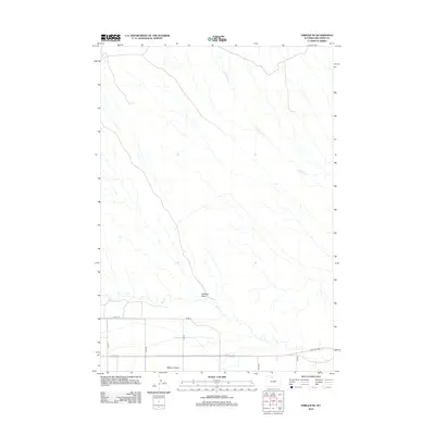
2012 Map of Emblem SE
USGS Topo · Published 2012About this map
The Bighorn Basin defines the arid character of this Big Horn County landscape, where water management is dictated by intermittent drainage patterns. The most prominent topographical feature is Emblem Draw, which cuts across the central portion of the map, while Dry Creek and its tributary Little Dry Creek provide the primary natural conduits for seasonal runoff. This area is organized by a geometric grid of rural infrastructure, including Road 14 and County Lane 33, reflecting the systematic land division typical of Wyoming's agricultural and ranching basins. The concentration of these numbered routes in the southern portion of the quadrangle suggests the primary corridors of movement and activity within this specific sector of the basin in the early 21st century.
Find a feature on this map
11 named features on this map. Tap any name to fly to it.
Don’t see what you’re looking for? This feature index may not catch every label — zoom into the map to look around manually.
Map Details
Editions of this 2012 Emblem SE Map
This is the sole edition of this map. No revisions or reprints were ever made.
Other maps of this area
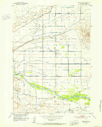
1951 · Burlington
USGS Topo · 1:24,000
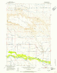
1951 · Otto
USGS Topo · 1:24,000

1955 · Cody
USGS Topo · 1:250,000

1958 · Cody
USGS Topo · 1:250,000

1962 · Cody
USGS Topo · 1:250,000
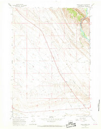
1966 · Sheep Canyon
USGS Topo · 1:24,000
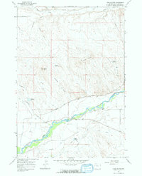
1966 · Gould Butte
USGS Topo · 1:24,000
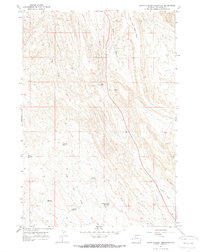
1966 · North Emblem Reservoir
USGS Topo · 1:24,000
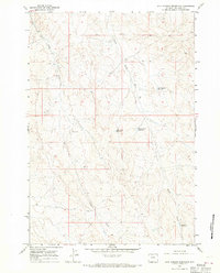
1966 · Jack Horner Reservoir
USGS Topo · 1:24,000
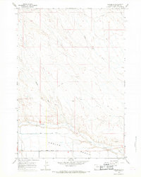
1966 · Emblem SE
USGS Topo · 1:24,000