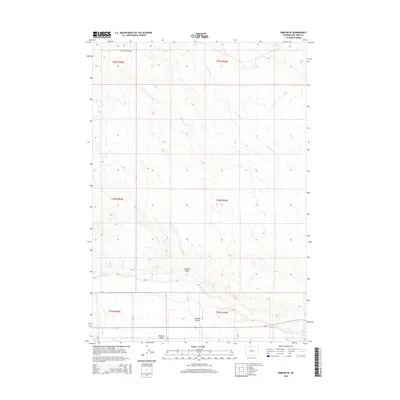
2015 Map of Emblem SE
USGS Topo · Published 2015About this map
Bighorn Basin terrain dominates this landscape, characterized by the prominent landforms of Emblem Bench and the carved path of Emblem Draw. This 2015 survey reveals a geographic transition where intermittent watercourses like Little Dry Cr and Dry Cr snake through the semi-arid basins of northern Wyoming. The mapping of this area reflects a modern infrastructure superimposed on the Public Land Survey System, with a grid of county roads including Little Dry Creek Rd, CR 12, and Road 16 providing access to the various sections and townships. The topography is defined by subtle elevation changes and the natural drainage patterns that have shaped the sedimentary floor of this significant geologic region.
Find a feature on this map
18 named features on this map. Tap any name to fly to it.
Don’t see what you’re looking for? This feature index may not catch every label — zoom into the map to look around manually.
Map Details
Editions of this 2015 Emblem SE Map
This is the sole edition of this map. No revisions or reprints were ever made.
Other maps of this area
1951 · Burlington
USGS Topo · 1:24,000
1951 · Otto
USGS Topo · 1:24,000

1955 · Cody
USGS Topo · 1:250,000

1958 · Cody
USGS Topo · 1:250,000

1962 · Cody
USGS Topo · 1:250,000
1966 · Sheep Canyon
USGS Topo · 1:24,000
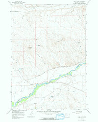
1966 · Gould Butte
USGS Topo · 1:24,000
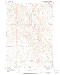
1966 · North Emblem Reservoir
USGS Topo · 1:24,000
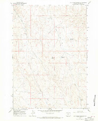
1966 · Jack Horner Reservoir
USGS Topo · 1:24,000
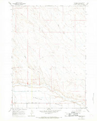
1966 · Emblem SE
USGS Topo · 1:24,000