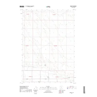
2017 Map of Emblem SE
USGS Topo · Published 2017About this map
Bighorn Basin terrain dominates this portion of Big Horn County, where the transition from high desert flats to carved drainages defines the local geography. The landscape is marked by the prominent Emblem Bench, an elevated landform that overlooks the seasonal path of Emblem Draw. This area represents a classic high-plains ranching and agricultural environment, structured by a grid of rural routes including Co Rd 14 and Co Rd 13 that follow township and range lines established by the Bureau of Land Management. Hydrology is characterized by intermittent flows such as Little Dry Cr and Dry Cr, which reveal the erosive patterns common in this arid Wyoming region. The placement of these watercourses and benches provides insight into historical land use and the reliance on specific topographic features for navigation and settlement in the basin.
Find a feature on this map
18 named features on this map. Tap any name to fly to it.
Don’t see what you’re looking for? This feature index may not catch every label — zoom into the map to look around manually.
Map Details
Editions of this 2017 Emblem SE Map
This is the sole edition of this map. No revisions or reprints were ever made.
Other maps of this area
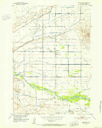
1951 · Burlington
USGS Topo · 1:24,000
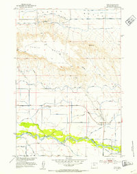
1951 · Otto
USGS Topo · 1:24,000

1955 · Cody
USGS Topo · 1:250,000

1958 · Cody
USGS Topo · 1:250,000

1962 · Cody
USGS Topo · 1:250,000
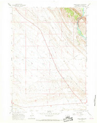
1966 · Sheep Canyon
USGS Topo · 1:24,000
1966 · Gould Butte
USGS Topo · 1:24,000
1966 · North Emblem Reservoir
USGS Topo · 1:24,000
1966 · Jack Horner Reservoir
USGS Topo · 1:24,000
1966 · Emblem SE
USGS Topo · 1:24,000