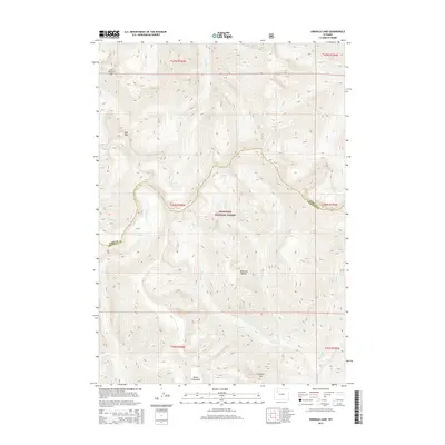
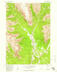
2015 Map of Emerald Lake
USGS Topo · Published 2015About this map
The Shoshone National Forest defines this high-elevation landscape in the heart of the Absaroka Range. This 2015 survey details a topography shaped by steep drainage systems, where glacial meltwater feeds into several high mountain basins. Central to the sheet is the eponymous Emerald Lake, which sits at the headwaters of Emerald Cr, a tributary that flows southward through deep valleys. This area is characterized by dramatic peaks, including the uniquely named Devils Graveyard and Lost Ranger Top, marking the rugged boundary between Park and Fremont Counties.
Find a feature on this map
24 named features on this map. Tap any name to fly to it.
Don’t see what you’re looking for? This feature index may not catch every label — zoom into the map to look around manually.
Map Details
Editions of this 2015 Emerald Lake Map
This is the sole edition of this map. No revisions or reprints were ever made.
Other maps of this area
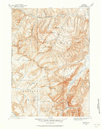
1893 · Ishawooa
USGS Topo · 1:125,000
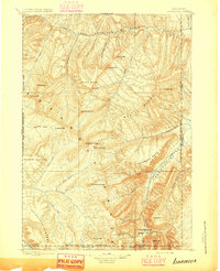
1895 · Ishawooa
USGS Topo · 1:125,000
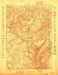
1899 · Ishawooa
USGS Topo · 1:125,000
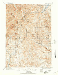
1904 · Kirwin
USGS Topo · 1:125,000
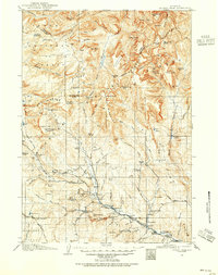
1905 · Younts Peak
USGS Topo · 1:125,000
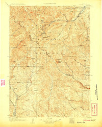
1906 · Kirwin
USGS Topo · 1:125,000
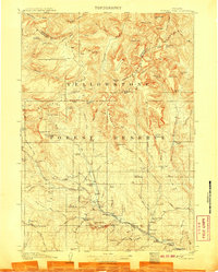
1907 · Younts Peak
USGS Topo · 1:125,000

1955 · Cody
USGS Topo · 1:250,000

1955 · Thermopolis
USGS Topo · 1:250,000
1956 · Snow Lake
USGS Topo · 1:24,000