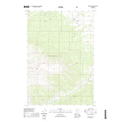
2020 Map of Emerald Lake
USGS Topo · Published 2020About this map
Custer National Forest encompasses the high-altitude terrain of this region along the Stillwater and Carbon County border. The landscape is defined by its complex drainage network, where the headwaters of the Middle Fork Fiddler Creek and East Fork Fiddler Creek carve through the northern slopes. Notable alpine features include the expansive Fishtail Plateau and the dramatic descent into Black Canyon to the southeast.
Find a feature on this map
34 named features on this map. Tap any name to fly to it.
Don’t see what you’re looking for? This feature index may not catch every label — zoom into the map to look around manually.
Map Details
Editions of this 2020 Emerald Lake Map
This is the sole edition of this map. No revisions or reprints were ever made.
Other maps of this area
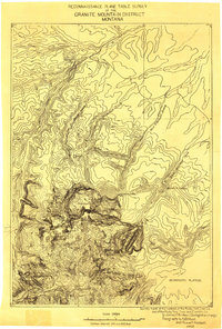
1898 · Granite Mountain District
USGS Topo · 1:125,000
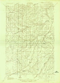
1932 · Nye No 1
USGS Topo · 1:48,000
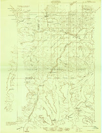
1932 · Nye No 2
USGS Topo · 1:48,000
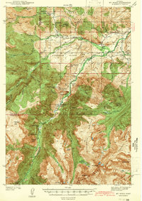
1939 · Mt Wood
USGS Topo · 1:62,500
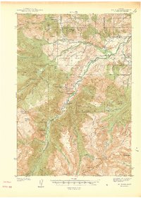
1941 · Mt. Wood
USGS Topo · 1:62,500
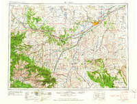
1954 · Billings
USGS Topo · 1:250,000
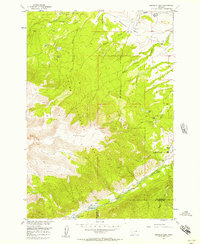
1956 · Emerald Lake
USGS Topo · 1:24,000
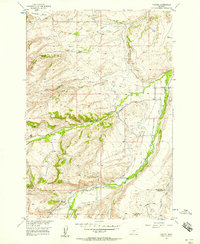
1956 · Fishtail
USGS Topo · 1:24,000
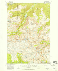
1956 · Alpine
USGS Topo · 1:62,500
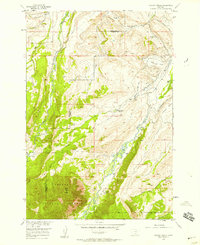
1956 · Mackay Ranch
USGS Topo · 1:24,000