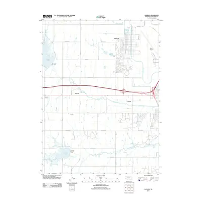
2011 Map of Emerald
USGS Topo · Published 2011About this map
Lincoln Municipal Airport anchors the northeastern landscape of this Lancaster County region, where the urban fringe of the state capital meets the agricultural plains. This area is defined by its water management systems, featuring Pawnee Lake and Conestoga Lake, both supported by engineered structures like the Pawnee Dam-Site 14 Dam. Small communities and residential developments such as Huskerville, Emerald, and Cushman are distributed among the drainages of Oak Creek and Middle Creek. The map provides essential data for genealogists, marking the locations of Saint Johns Cemetery and Emerald Cemetery. The road network, including W Old Cheney Rd and W Pioneers Blvd, reflects the structured section-line development typical of the Nebraska prairie as it transitions into suburban space.
Find a feature on this map
35 named features on this map. Tap any name to fly to it.
Don’t see what you’re looking for? This feature index may not catch every label — zoom into the map to look around manually.
Map Details
Editions of this 2011 Emerald Map
This is the sole edition of this map. No revisions or reprints were ever made.
Other maps of this area

1897 · Lincoln
USGS Topo · 1:125,000

1955 · Lincoln
USGS Topo · 1:250,000

1957 · Lincoln
USGS Topo · 1:250,000

1958 · Lincoln
USGS Topo · 1:250,000
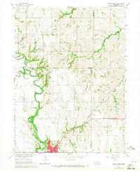
1964 · Crete North
USGS Topo · 1:24,000
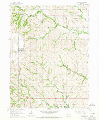
1964 · Garland
USGS Topo · 1:24,000

1964 · Denton
USGS Topo · 1:24,000

1964 · Roca
USGS Topo · 1:24,000
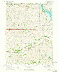
1964 · Pleasant Dale
USGS Topo · 1:24,000

1964 · Davey
USGS Topo · 1:24,000