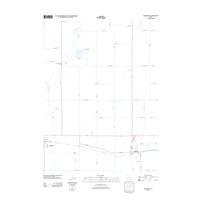
2013 Map of Emerson
USGS Topo · Published 2013About this map
The W Nishnabotna River meanders through the western reaches of this Mills County landscape, crossing beneath the Nishnabotna River Bridge in a region defined by its fertile agricultural grid. The settlement of Emerson serves as a local hub in the southeast, while Hastings sits further west, both oriented along a transit corridor that includes N Railway St and S Railway St.
Find a feature on this map
53 named features on this map. Tap any name to fly to it.
Don’t see what you’re looking for? This feature index may not catch every label — zoom into the map to look around manually.
Map Details
Editions of this 2013 Emerson Map
This is the sole edition of this map. No revisions or reprints were ever made.
Other maps of this area

1954 · Omaha
USGS Topo · 1:250,000
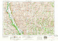
1955 · Nebraska City
USGS Topo · 1:250,000
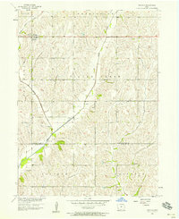
1956 · Treynor
USGS Topo · 1:24,000
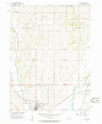
1956 · Malvern
USGS Topo · 1:24,000
1957 · Nebraska City
USGS Topo · 1:250,000

1957 · Omaha
USGS Topo · 1:250,000
1957 · Tabor NE
USGS Topo · 1:24,000

1958 · Omaha
USGS Topo · 1:250,000
1958 · Nebraska City
USGS Topo · 1:250,000
1978 · Carson
USGS Topo · 1:24,000