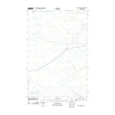
2011 Map of Emerson Nipple
USGS Topo · Published 2011About this map
Emerson Nipple stands as a prominent topographical landmark in this arid portion of Yakima County, where the landscape is defined by the ephemeral drainages of Cold Creek and Dry Creek. To the north, the Columbia River flows past McCoy Canyon, marking the edge of a terrain carved by ancient geological forces. The map reveals a sparse but functional network of rural infrastructure, including power facilities like the Midway Sub Sta and long stretches of gravel roads such as Wautoma Rd and Cold Creek Rd.
Find a feature on this map
13 named features on this map. Tap any name to fly to it.
Don’t see what you’re looking for? This feature index may not catch every label — zoom into the map to look around manually.
Map Details
Editions of this 2011 Emerson Nipple Map
This is the sole edition of this map. No revisions or reprints were ever made.
Other maps of this area

1915 · Prosser
USGS Topo · 1:125,000

1916 · Coyote Rapids
USGS Topo · 1:62,500

1917 · Priest Rapids
USGS Topo · 1:62,500

1917 · Prosser
USGS Topo · 1:125,000

1948 · Cairn Hope Peak
USGS Topo · 1:24,000

1948 · Emerson Nipple
USGS Topo · 1:24,000

1948 · Priest Rapids
USGS Topo · 1:24,000

1950 · Grandview
USGS Topo · 1:62,500

1951 · Priest Rapids
USGS Topo · 1:62,500

1951 · Grandview
USGS Topo · 1:62,500