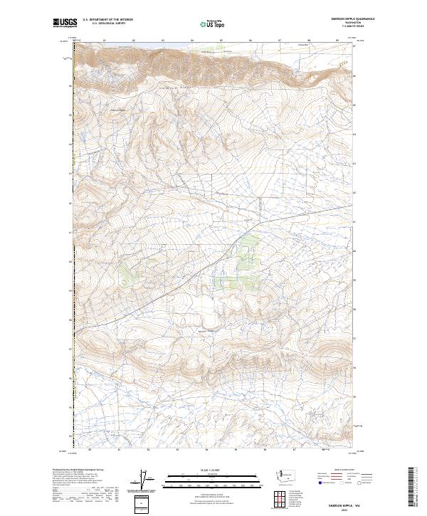
2023 Map of Emerson Nipple
USGS Topo · Published 2023About this map
Umtanum Ridge and Yakima Ridge dominate this section of Benton County, defining a landscape of high crests and deep drainages. The area is characterized by significant conservation boundaries, including the Hanford Reach National Monument to the east and the Saddle Mountain National Wildlife Refuge along the southern edge. The central peak of Emerson Nipple serves as a prominent landmark above the surrounding basins. Water sources are scarce but critical, marked by several named points such as Juniper Springs, Wissa Spring, and Barrel Springs. This arid terrain is traversed by a network of local routes including Cold Creek Rd and Priest Rapids Rd, which follow the natural contours between the ridges. The map reveals the intersection of natural topography and federal land management in this part of Washington.
Find a feature on this map
20 named features on this map. Tap any name to fly to it.
Don’t see what you’re looking for? This feature index may not catch every label — zoom into the map to look around manually.
Map Details
Editions of this 2023 Emerson Nipple Map
This is the sole edition of this map. No revisions or reprints were ever made.
Other maps of this area

1915 · Prosser
USGS Topo · 1:125,000

1916 · Coyote Rapids
USGS Topo · 1:62,500

1917 · Priest Rapids
USGS Topo · 1:62,500

1917 · Prosser
USGS Topo · 1:125,000

1948 · Cairn Hope Peak
USGS Topo · 1:24,000

1948 · Emerson Nipple
USGS Topo · 1:24,000

1948 · Priest Rapids
USGS Topo · 1:24,000

1950 · Grandview
USGS Topo · 1:62,500

1951 · Priest Rapids
USGS Topo · 1:62,500

1951 · Grandview
USGS Topo · 1:62,500