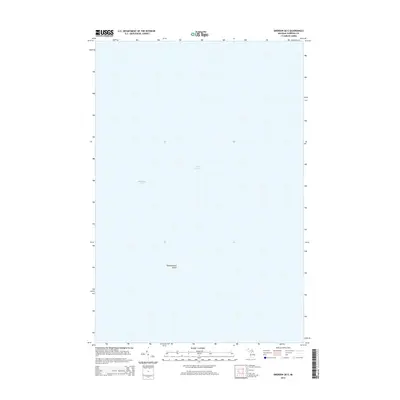
2014 Map of Emerson OE E
USGS Topo · Published 2014About this map
Tahquamenon Island sits as a solitary landmass within the expanse of Whitefish Bay, a significant northern reach of Lake Superior. This 2014 survey by the U.S. Geological Survey focuses almost entirely on the open waters of the bay, providing a clean record of the maritime geography in this section of Chippewa County. The map is a precise study of the coastal offshore environment, where the small, isolated footprint of Tahquamenon Island serves as the primary navigational reference point for the surrounding waters. Researchers interested in the bathymetry and nautical boundaries of the Upper Peninsula will find this depiction of the bay particularly useful for understanding the scale and isolation of the island in relation to the Great Lake's vast shoreline.
Find a feature on this map
3 named features on this map. Tap any name to fly to it.
Don’t see what you’re looking for? This feature index may not catch every label — zoom into the map to look around manually.
Map Details
Editions of this 2014 Emerson OE E Map
This is the sole edition of this map. No revisions or reprints were ever made.
Other maps of this area
1941 · Strongs
USGS Topo · 1:63,360
1951 · Shelldrake
USGS Topo · 1:24,000
1951 · McNearney Lake
USGS Topo · 1:24,000
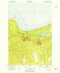
1951 · Pendills Lake
USGS Topo · 1:24,000
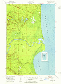
1951 · Emerson
USGS Topo · 1:24,000
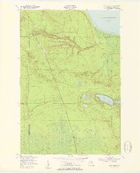
1951 · Piatt Lake
USGS Topo · 1:24,000
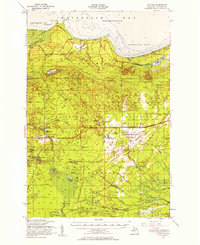
1951 · Strongs
USGS Topo · 1:62,500
1951 · Eckerman
USGS Topo · 1:62,500
1951 · Shelldrake
USGS Topo · 1:62,500
1954 · Sault Sainte Marie
USGS Topo · 1:250,000