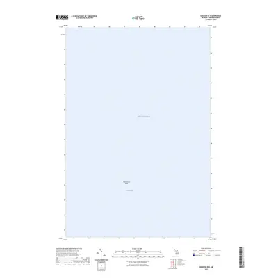
2023 Map of Emerson OE E
USGS Topo · Published 2023About this map
Lake Superior dominates this nautical study of the offshore waters in Chippewa County. The primary terrestrial landmark is Tahquamenon Island, which sits prominently within the expanse of Whitefish Bay. This particular edition serves as a precise modern snapshot of the northern Michigan shoreline environment, focusing on the hydrographic relationships between the bay and the open lake. Because the map contains very few human-made structures or inland details, its value lies in its clear delineation of the coastal waters and the lone island feature as they were recorded in the early twenty-first century.
Find a feature on this map
3 named features on this map. Tap any name to fly to it.
Don’t see what you’re looking for? This feature index may not catch every label — zoom into the map to look around manually.
Map Details
Editions of this 2023 Emerson OE E Map
This is the sole edition of this map. No revisions or reprints were ever made.
Other maps of this area

1941 · Strongs
USGS Topo · 1:63,360

1951 · Shelldrake
USGS Topo · 1:24,000

1951 · McNearney Lake
USGS Topo · 1:24,000

1951 · Pendills Lake
USGS Topo · 1:24,000

1951 · Emerson
USGS Topo · 1:24,000

1951 · Piatt Lake
USGS Topo · 1:24,000

1951 · Strongs
USGS Topo · 1:62,500

1951 · Eckerman
USGS Topo · 1:62,500

1951 · Shelldrake
USGS Topo · 1:62,500

1954 · Sault Sainte Marie
USGS Topo · 1:250,000