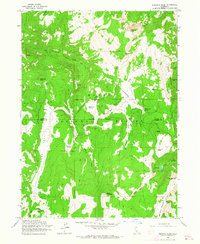
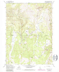
1962 Map of Emerson Peak
USGS Topo · Published 1964About this map
Patterson Guard Sta serves as a key administrative marker in this high-altitude landscape within the Modoc National Forest. This 1960s survey documents a terrain defined by high peaks and strategic water sources, where the Modoc Co Lassen Co line traverses a series of prominent summits including Emerson Peak, Bearcamp Mtn, and Bald Mtn. The map records a network of foot travel and resource management, centering on Patterson Meadow and Corporation Meadow.
Find a feature on this map
37 named features on this map. Tap any name to fly to it.
Don’t see what you’re looking for? This feature index may not catch every label — zoom into the map to look around manually.
Map Details
Editions of this 1962 Emerson Peak Map
5 editions found
Other maps of this area

1886 · Alturas
USGS Topo · 1:250,000

1892 · Alturas
USGS Topo · 1:250,000

1954 · Alturas
USGS Topo · 1:250,000

1958 · Alturas
USGS Topo · 1:250,000

1962 · Alturas
USGS Topo · 1:250,000

1962 · Snake Lake
USGS Topo · 1:24,000
1962 · Little Hat Mtn
USGS Topo · 1:24,000
1962 · Cold Spring Mtn
USGS Topo · 1:24,000

1962 · Jess Valley
USGS Topo · 1:24,000
1962 · Boot Lake
USGS Topo · 1:24,000