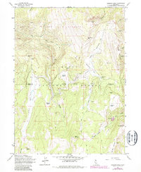
1962 Map of Emerson Peak
USGS Topo · Published 1983About this map
Patterson Guard Sta serves as a lone marker of human infrastructure within this high-elevation landscape on the border of Modoc and Lassen counties. The terrain is defined by the steep ridgelines of the South Warner Wilderness, where peaks like Emerson Peak and Bearcamp Mtn rise above a network of drainages including the East Fork Little North Fork Creek and Silver Creek.
Find a feature on this map
35 named features on this map. Tap any name to fly to it.
Don’t see what you’re looking for? This feature index may not catch every label — zoom into the map to look around manually.
Map Details
Editions of this 1962 Emerson Peak Map
5 editions found
Other maps of this area

1886 · Alturas
USGS Topo · 1:250,000

1892 · Alturas
USGS Topo · 1:250,000

1954 · Alturas
USGS Topo · 1:250,000

1958 · Alturas
USGS Topo · 1:250,000

1962 · Alturas
USGS Topo · 1:250,000

1962 · Snake Lake
USGS Topo · 1:24,000
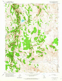
1962 · Little Hat Mtn
USGS Topo · 1:24,000
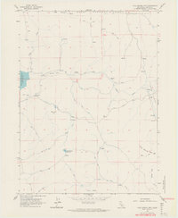
1962 · Cold Spring Mtn
USGS Topo · 1:24,000

1962 · Jess Valley
USGS Topo · 1:24,000
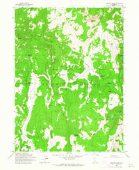
1962 · Emerson Peak
USGS Topo · 1:24,000