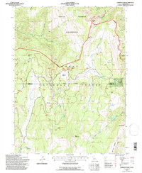
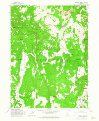
1993 Map of Emerson Peak
USGS Topo · Published 1997About this map
The South Warner Wilderness dominates this corner of the Modoc National Forest, showcasing a landscape shaped by high peaks and high-elevation meadows along the border of Modoc and Lassen counties. The rugged terrain transitions from the deep Long Valley in the west toward the towering heights of Emerson Peak and Bearcamp Mtn. Administrative and recreational activity centers on points like the Patterson Guard Sta and the wide expanses of Patterson Meadow and Corporation Meadow. A network of drainage systems, including the North Fork East Creek and South Fork East Creek, flows through these highlands, while the Summit Trail provides the primary traverse across the wilderness ridge. Remote water features such as Lost Lake and Skunk Cabbage Creek highlight the isolated character of this high-country environment in the early 1990s.
Find a feature on this map
37 named features on this map. Tap any name to fly to it.
Don’t see what you’re looking for? This feature index may not catch every label — zoom into the map to look around manually.
Map Details
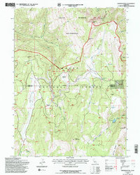
Editions of this 1993 Emerson Peak Map
2 editions found
Other maps of this area

1886 · Alturas
USGS Topo · 1:250,000

1892 · Alturas
USGS Topo · 1:250,000

1954 · Alturas
USGS Topo · 1:250,000

1958 · Alturas
USGS Topo · 1:250,000

1962 · Alturas
USGS Topo · 1:250,000

1962 · Snake Lake
USGS Topo · 1:24,000
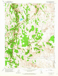
1962 · Little Hat Mtn
USGS Topo · 1:24,000
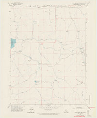
1962 · Cold Spring Mtn
USGS Topo · 1:24,000

1962 · Jess Valley
USGS Topo · 1:24,000
1962 · Emerson Peak
USGS Topo · 1:24,000