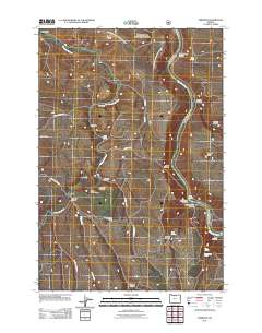
2011 Map of Emerson
USGS Topo · Published 2011About this map
The Deschutes River carves a deep path through Wasco County, defining the eastern reach of this landscape dominated by high ridges and complex drainage systems. Small rural settlements and ranching hubs like Emerson and Fairbanks anchor the western portion of the quadrangle, connected by a network of local routes including Wrentham Market Rd and Roberts Market Rd. The naming conventions found throughout the area, such as Douglas Hollow School and Columbia Hall, reflect the localized infrastructure established to serve the farming and ranching families of the interior high country.
Find a feature on this map
40 named features on this map. Tap any name to fly to it.
Don’t see what you’re looking for? This feature index may not catch every label — zoom into the map to look around manually.
Map Details
Editions of this 2011 Emerson Map
This is the sole edition of this map. No revisions or reprints were ever made.
Other maps of this area

1930 · Dufur
USGS Topo · 1:125,000

1934 · Dufur
USGS Topo · 1:125,000

1934 · The Dalles
USGS Topo · 1:125,000

1953 · The Dalles
USGS Topo · 1:250,000

1956 · The Dalles
USGS Topo · 1:250,000

1957 · The Dalles
USGS Topo · 1:250,000

1957 · The Dalles
USGS Topo · 1:62,500

1957 · Wishram
USGS Topo · 1:62,500

1962 · Erskine
USGS Topo · 1:24,000

1962 · Summit Ridge
USGS Topo · 1:24,000