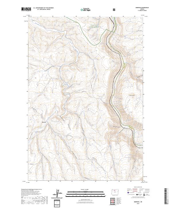
2023 Map of Emerson
USGS Topo · Published 2023About this map
Emerson stands as the central point of reference in this landscape defined by deep canyons and high ridges east of the Cascades. The survey captures the intricate drainage patterns where Fifteenmile Creek and Davis Creek carve through the high plateau, eventually meeting the Deschutes Wild and Scenic River which forms the eastern boundary of the quadrangle. This area serves as a rugged intersection of public and private interests, with the northeastern corner touching the Mount Hood National Forest.
Find a feature on this map
44 named features on this map. Tap any name to fly to it.
Don’t see what you’re looking for? This feature index may not catch every label — zoom into the map to look around manually.
Map Details
Editions of this 2023 Emerson Map
This is the sole edition of this map. No revisions or reprints were ever made.
Other maps of this area

1930 · Dufur
USGS Topo · 1:125,000

1934 · Dufur
USGS Topo · 1:125,000

1934 · The Dalles
USGS Topo · 1:125,000

1953 · The Dalles
USGS Topo · 1:250,000

1956 · The Dalles
USGS Topo · 1:250,000

1957 · The Dalles
USGS Topo · 1:250,000

1957 · The Dalles
USGS Topo · 1:62,500

1957 · Wishram
USGS Topo · 1:62,500

1962 · Erskine
USGS Topo · 1:24,000

1962 · Summit Ridge
USGS Topo · 1:24,000