
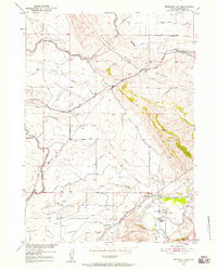
1950 Map of Emigrant Gap
USGS Topo · Published 1952About this map
The Oregon Trail winds across this central Wyoming landscape, marked by a specific Oregon Trail Marker near the southern bend of the North Platte River. This 1950 survey, conducted as part of the Missouri River Basin development program, details a region transitioning between historic westward migration routes and modern industrial utility. The Casper Canal and various irrigation ditches crisscross the area around Emigrant Gap Ridge, illustrating the mid-century effort to manage water in the arid high plains.
Find a feature on this map
20 named features on this map. Tap any name to fly to it.
Don’t see what you’re looking for? This feature index may not catch every label — zoom into the map to look around manually.
Map Details
Editions of this 1950 Emigrant Gap Map
2 editions found
Other maps of this area

1950 · Goose Egg
USGS Topo · 1:24,000

1950 · Emigrant Gap NE
USGS Topo · 1:24,000

1951 · Oil Mountain
USGS Topo · 1:24,000

1951 · Clarkson Hill
USGS Topo · 1:24,000

1951 · Emigrant Gap NW
USGS Topo · 1:24,000

1951 · Bessemer Mountain
USGS Topo · 1:24,000

1952 · Bishop
USGS Topo · 1:24,000

1955 · Casper
USGS Topo · 1:250,000

1958 · Casper
USGS Topo · 1:250,000
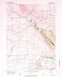
1960 · Emigrant Gap
USGS Topo · 1:24,000