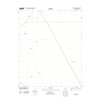
2012 Map of Emigrant Hill
USGS Topo · Published 2012About this map
Antelope Valley and Welcome Valley define this arid landscape in Kern County, where the topography transitions from the low-lying basin to the prominent peaks of Wagon Wheel Mountain and Emigrant Hill. The area is marked by a clear divide between the agricultural and ranching legacy represented by Hannah Ranch and the industrial energy sector found at the Blackwells Corner Oil Field. Transportation and infrastructure are concentrated along a few key routes like Twissleman Rd and Weiser Rd, which serve both the agricultural tracts and specialized sites like the Paramount Farms Airport. The sparse water sources, most notably Salt Spring, further highlight the desert character of the terrain east of Mount Vernon.
Find a feature on this map
13 named features on this map. Tap any name to fly to it.
Don’t see what you’re looking for? This feature index may not catch every label — zoom into the map to look around manually.
Map Details
Editions of this 2012 Emigrant Hill Map
This is the sole edition of this map. No revisions or reprints were ever made.
Other maps of this area
1914 · Lost Hills
USGS Topo · 1:125,000
1914 · Cholame
USGS Topo · 1:125,000
1915 · Cholame
USGS Topo · 1:125,000
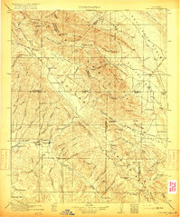
1917 · Cholame
USGS Topo · 1:125,000
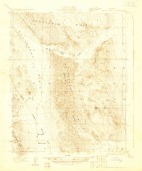
1930 · Avenal Gap
USGS Topo · 1:31,680
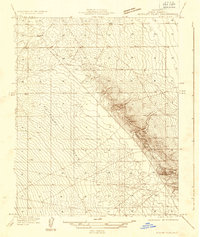
1932 · Antelope Plain
USGS Topo · 1:31,680
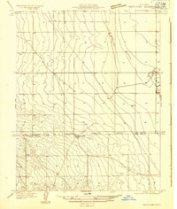
1932 · West Camp
USGS Topo · 1:31,680
1933 · Avenal Gap
USGS Topo · 1:31,680
1935 · West Camp
USGS Topo · 1:31,680
1936 · Antelope Plain
USGS Topo · 1:31,680