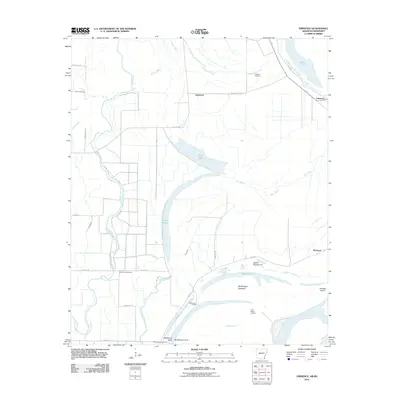
2011 Map of Eminence
USGS Topo · Published 2011About this map
Bayou Macon and Eminence Bayou wind through the alluvial bottomlands of Chicot County, defining a landscape of complex waterways and drainage networks. The settlement patterns follow these watercourses and the protective infrastructure of the Levee Rd, which borders the shifting banks of the Mississippi River. Along the river’s edge, distinctive fluvial features like Worthington Towhead, Island Number 87, and Matthews Bend illustrate the dynamic nature of the river channel. Local history and genealogy researchers will find significant landmarks such as the Lakeport Cemetery near the settlement of Lakeport, and the North Star Cemetery situated further inland. The road network, including Red Leaf Rd and Black Water Rd, connects scattered river landings like Mosswood Landing and Point Moore Landing to the interior agricultural fields.
Find a feature on this map
38 named features on this map. Tap any name to fly to it.
Don’t see what you’re looking for? This feature index may not catch every label — zoom into the map to look around manually.
Map Details
Editions of this 2011 Eminence Map
This is the sole edition of this map. No revisions or reprints were ever made.
Other maps of this area

1936 · Eudora
USGS Topo · 1:62,500

1936 · Lake Village
USGS Topo · 1:62,500

1939 · Readland
USGS Topo · 1:62,500

1939 · Refuge
USGS Topo · 1:62,500

1953 · Greenwood
USGS Topo · 1:250,000

1955 · Lake Village
USGS Topo · 1:62,500

1956 · Greenwood
USGS Topo · 1:250,000

1957 · Eudora
USGS Topo · 1:62,500
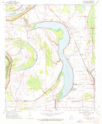
1970 · Glen Allan
USGS Topo · 1:24,000
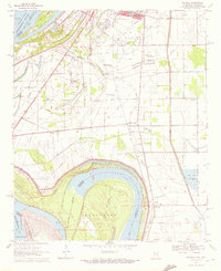
1970 · Wayside
USGS Topo · 1:24,000