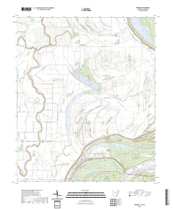
2024 Map of Eminence
USGS Topo · Published 2024About this map
Matthews Bend and Worthington Towhead characterize this stretch of the lower Mississippi River, where the border between Chicot County, Arkansas, and Washington County, Mississippi, follows the shifting currents. The landscape is a network of alluvial features including Moon Chute, Kentucky Bend Bar, and Island Number Eighty-eight, reflecting the river's historical path. Inland, the flat delta terrain is defined by a dense grid of local roads like Silver Dollar Rd and Honeycamp Break Rd that serve the agricultural areas surrounding Eminence and Lakeport. Genealogists and local historians can locate community landmarks such as Lakeport Cem and North Star Cem, while water bodies like Otter Lake and Fish Bayou illustrate the complex drainage system of the Mississippi floodplain.
Find a feature on this map
46 named features on this map. Tap any name to fly to it.
Don’t see what you’re looking for? This feature index may not catch every label — zoom into the map to look around manually.
Map Details
Editions of this 2024 Eminence Map
This is the sole edition of this map. No revisions or reprints were ever made.
Other maps of this area

1936 · Eudora
USGS Topo · 1:62,500

1936 · Lake Village
USGS Topo · 1:62,500

1939 · Readland
USGS Topo · 1:62,500

1939 · Refuge
USGS Topo · 1:62,500

1953 · Greenwood
USGS Topo · 1:250,000

1955 · Lake Village
USGS Topo · 1:62,500

1956 · Greenwood
USGS Topo · 1:250,000

1957 · Eudora
USGS Topo · 1:62,500
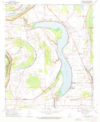
1970 · Glen Allan
USGS Topo · 1:24,000
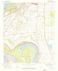
1970 · Wayside
USGS Topo · 1:24,000