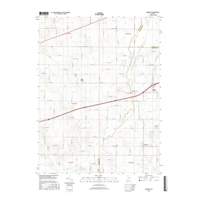
2016 Map of Eminence
USGS Topo · Published 2016About this map
Eminence serves as a primary hub in this portion of rural Indiana, situated where the borders of Putnam, Morgan, and Hendricks counties converge. The landscape is defined by an intricate drainage network feeding into Mill Creek, including the regulated waters of Lake Ditch and the aptly named Mud Creek. These watercourses dictated the early settlement patterns and road placements that still define the region today.
Find a feature on this map
63 named features on this map. Tap any name to fly to it.
Don’t see what you’re looking for? This feature index may not catch every label — zoom into the map to look around manually.
Map Details
Editions of this 2016 Eminence Map
This is the sole edition of this map. No revisions or reprints were ever made.
Other maps of this area
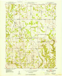
1949 · Quincy
USGS Topo · 1:24,000
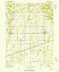
1953 · Clayton
USGS Topo · 1:24,000
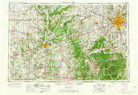
1953 · Indianapolis
USGS Topo · 1:250,000
1955 · Hall
USGS Topo · 1:24,000
1956 · Indianapolis
USGS Topo · 1:250,000
1956 · Cloverdale
USGS Topo · 1:24,000
1956 · Cataract
USGS Topo · 1:24,000
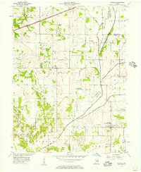
1956 · Eminence
USGS Topo · 1:24,000
1957 · Indianapolis
USGS Topo · 1:250,000
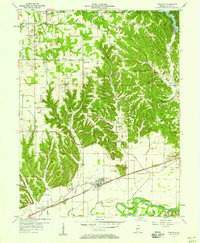
1957 · Paragon
USGS Topo · 1:24,000