
1956 Map of Eminence
USGS Topo · Published 1957About this map
Mill Creek meanders through the heart of this Indiana landscape where Putnam, Morgan, and Hendricks counties meet. In the mid-1950s, the rural character of the region is defined by a dense network of family cemeteries and country churches, including the Walnut Chapel and Union Valley Ch. The National Road cuts across the northern reaches near Broad Park, serving as a primary corridor for travel and commerce. Local education is centered at the Eminence Consolidated Sch in the town of Eminence, which anchors the southeast corner of the map. The distribution of small settlements like Belle Union and Little Point, alongside numerous burial grounds such as the Broadstreet Cem and Whitaker-Patrick Cem, provides a detailed view of the mid-century social fabric and genealogical history of these central Indiana townships.
Find a feature on this map
39 named features on this map. Tap any name to fly to it.
Don’t see what you’re looking for? This feature index may not catch every label — zoom into the map to look around manually.
Map Details
Editions of this 1956 Eminence Map
This is the sole edition of this map. No revisions or reprints were ever made.
Other maps of this area

1949 · Quincy
USGS Topo · 1:24,000

1953 · Clayton
USGS Topo · 1:24,000

1953 · Indianapolis
USGS Topo · 1:250,000

1955 · Hall
USGS Topo · 1:24,000

1956 · Indianapolis
USGS Topo · 1:250,000

1956 · Cloverdale
USGS Topo · 1:24,000

1956 · Cataract
USGS Topo · 1:24,000

1957 · Indianapolis
USGS Topo · 1:250,000
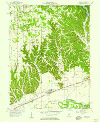
1957 · Paragon
USGS Topo · 1:24,000
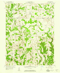
1958 · Quincy
USGS Topo · 1:24,000