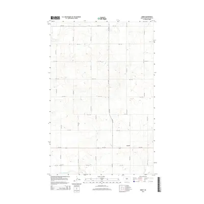
2014 Map of Emmet
USGS Topo · Published 2014About this map
Emmet serves as the focal point for this section of McLean County, situated in an area defined by its strict rectangular road grid and prairie landscape. The mapping shows a sparsely populated agricultural region where local travel is managed by a series of numbered northwest streets, including 16th St NW which bisects the settlement. Historical continuity is marked by the presence of Blackwater Cem to the southwest, a common landmark for genealogists tracing early families of the central North Dakota plains. The natural topography is relatively subtle, punctuated primarily by the drainage of W Br Douglas Cr at the southern edge of the survey. This 2014 data reflects the enduring rural character of the region, where the intersection of section-line roads and small community nodes remains the primary organizational structure for land use and local navigation.
Find a feature on this map
12 named features on this map. Tap any name to fly to it.
Don’t see what you’re looking for? This feature index may not catch every label — zoom into the map to look around manually.
Map Details
Editions of this 2014 Emmet Map
This is the sole edition of this map. No revisions or reprints were ever made.
Other maps of this area
1954 · McClusky
USGS Topo · 1:250,000
1956 · Emmet NE
USGS Topo · 1:24,000
1956 · Blackwater Lake
USGS Topo · 1:24,000
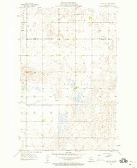
1956 · Blue Hill
USGS Topo · 1:24,000
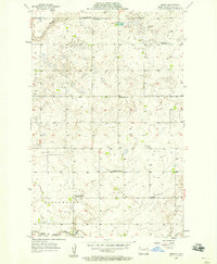
1956 · Emmet
USGS Topo · 1:24,000
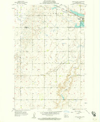
1956 · Douglas West
USGS Topo · 1:24,000
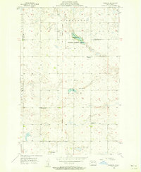
1956 · Roseglen
USGS Topo · 1:24,000
1958 · McClusky
USGS Topo · 1:250,000
1967 · Emmet SE
USGS Topo · 1:24,000
1967 · Blackwater Lake SE
USGS Topo · 1:24,000