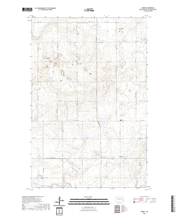
2024 Map of Emmet
USGS Topo · Published 2024About this map
The settlement of Emmet serves as the central focal point for this rural McLean County landscape, where the agricultural grid meets the winding drainages of the northern plains. This area is defined by the intersection of local routes like Co Hwy 6 and Perimeter Rd, which navigate around the natural depressions and watercourses that characterize the region. The map captures a quiet, established geography where family history is anchored to long-standing local landmarks. Notable among these are the Assumption Cem in the southwestern portion and Saint Peter Cem further east, both marking historical community centers. Water features such as Glennon Coulee and the West Branch Douglas Creek illustrate the natural drainage patterns that have influenced land use and road placement for generations in this part of North Dakota.
Find a feature on this map
22 named features on this map. Tap any name to fly to it.
Don’t see what you’re looking for? This feature index may not catch every label — zoom into the map to look around manually.
Map Details
Editions of this 2024 Emmet Map
This is the sole edition of this map. No revisions or reprints were ever made.
Other maps of this area

1954 · McClusky
USGS Topo · 1:250,000

1956 · Emmet NE
USGS Topo · 1:24,000

1956 · Blackwater Lake
USGS Topo · 1:24,000

1956 · Blue Hill
USGS Topo · 1:24,000

1956 · Emmet
USGS Topo · 1:24,000

1956 · Douglas West
USGS Topo · 1:24,000

1956 · Roseglen
USGS Topo · 1:24,000

1958 · McClusky
USGS Topo · 1:250,000

1967 · Emmet SE
USGS Topo · 1:24,000

1967 · Blackwater Lake SE
USGS Topo · 1:24,000