
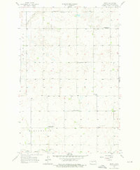
1956 Map of Emmet
USGS Topo · Published 1958About this map
The settlement of Emmet serves as the focal point for this mid-century survey of McLean County, where the plains are etched by the Glennon Coulee and the drainage of Blackwater. The map reveals a deeply rooted rural community structure defined by its numbered school districts and country churches, including Mt Zion Ch and St Peters Ch. A shift in the local landscape is evident in the status of educational buildings, with Romaas Sch No 3 and O'Shea Sch No 2 already marked as abandoned by the time of the 1956 field check.
Find a feature on this map
15 named features on this map. Tap any name to fly to it.
Don’t see what you’re looking for? This feature index may not catch every label — zoom into the map to look around manually.
Map Details
Editions of this 1956 Emmet Map
2 editions found
Other maps of this area

1954 · McClusky
USGS Topo · 1:250,000

1956 · Emmet NE
USGS Topo · 1:24,000

1956 · Blackwater Lake
USGS Topo · 1:24,000

1956 · Blue Hill
USGS Topo · 1:24,000

1956 · Douglas West
USGS Topo · 1:24,000

1956 · Roseglen
USGS Topo · 1:24,000

1958 · McClusky
USGS Topo · 1:250,000

1967 · Emmet SE
USGS Topo · 1:24,000

1967 · Blackwater Lake SE
USGS Topo · 1:24,000

1967 · Emmet SW
USGS Topo · 1:24,000