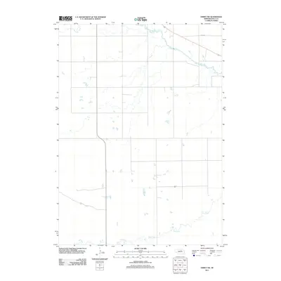
2011 Map of Emmet NW
USGS Topo · Published 2011About this map
Elkhorn River meanders across the northern portion of this Nebraska landscape, defining the local drainage patterns in Holt County. The area is characterized by a sparse network of section-line roads and natural watercourses, including the westward reaches of Holt Creek and the southern flow of Dry Creek. These waterways provide a clear look at the hydrography of the Great Plains before modern development or intensive infrastructure altered the terrain. The presence of 874th Rd in the northeast corner serves as one of the few named terrestrial markers, illustrating the rural and agricultural character of the region. This 2011 survey by the U.S. Geological Survey preserves the topographical details of a landscape where small ponds and seasonal wetlands dot the open country between established river basins.
Find a feature on this map
4 named features on this map. Tap any name to fly to it.
Don’t see what you’re looking for? This feature index may not catch every label — zoom into the map to look around manually.
Map Details
Editions of this 2011 Emmet NW Map
This is the sole edition of this map. No revisions or reprints were ever made.
Other maps of this area

1954 · Atkinson SE
USGS Topo · 1:24,000

1954 · Atkinson
USGS Topo · 1:24,000

1954 · Stuart SE
USGS Topo · 1:24,000

1955 · O'Neill
USGS Topo · 1:250,000

1959 · O'Neill
USGS Topo · 1:250,000

1964 · Emmet NW
USGS Topo · 1:24,000

1964 · Emmet SE
USGS Topo · 1:24,000

1964 · Emmet SW
USGS Topo · 1:24,000

1964 · Emmet
USGS Topo · 1:24,000

1969 · O'Neill
USGS Topo · 1:250,000