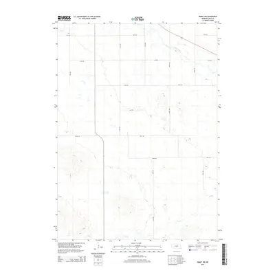
2014 Map of Emmet NW
USGS Topo · Published 2014About this map
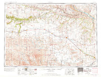
The Elkhorn River meanders across the northern reaches of this Holt County landscape, defining the local drainage pattern alongside Dry Cr and Holt Cr. The terrain is characterized by the structured grid of Nebraska's rural sections, where a network of section line roads like 870th Rd and 477th Ave provides access to the agricultural interior. This 2014 survey reveals the persistent geometry of the Great Plains land system, showing the relationship between natural watercourses and the human-imposed survey grid. Small depressions and scattered wetlands are visible throughout the southern portion of the quadrangle, illustrating the complex hydrology of the region beyond the main river channel.
Find a feature on this map
14 named features on this map. Tap any name to fly to it.
Don’t see what you’re looking for? This feature index may not catch every label — zoom into the map to look around manually.
Map Details
Editions of this 2014 Emmet NW Map
This is the sole edition of this map. No revisions or reprints were ever made.
Other maps of this area
1954 · Atkinson SE
USGS Topo · 1:24,000
1954 · Atkinson
USGS Topo · 1:24,000
1954 · Stuart SE
USGS Topo · 1:24,000

1955 · O'Neill
USGS Topo · 1:250,000

1959 · O'Neill
USGS Topo · 1:250,000
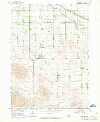
1964 · Emmet NW
USGS Topo · 1:24,000
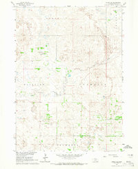
1964 · Emmet SE
USGS Topo · 1:24,000
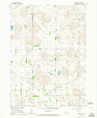
1964 · Emmet SW
USGS Topo · 1:24,000
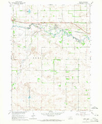
1964 · Emmet
USGS Topo · 1:24,000
1969 · O'Neill
USGS Topo · 1:250,000