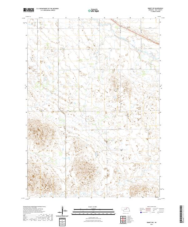
2021 Map of Emmet NW
USGS Topo · Published 2021About this map
The Elkhorn River flows across the northern reaches of this Holt County landscape, defining the hydrology of a region marked by extensive wetlands and drainage basins. This modern topographic study reveals a prairie environment where water is the primary architect of the land, seen in the winding course of Holt Cr and the seasonal presence of Dry Cr to the northwest. The presence of the Cowboy Trl crossing the northeastern corner follows a historic transportation corridor that once linked the agricultural communities of Nebraska’s northern tier.
Find a feature on this map
17 named features on this map. Tap any name to fly to it.
Don’t see what you’re looking for? This feature index may not catch every label — zoom into the map to look around manually.
Map Details
Editions of this 2021 Emmet NW Map
This is the sole edition of this map. No revisions or reprints were ever made.
Other maps of this area

1954 · Atkinson SE
USGS Topo · 1:24,000

1954 · Atkinson
USGS Topo · 1:24,000

1954 · Stuart SE
USGS Topo · 1:24,000

1955 · O'Neill
USGS Topo · 1:250,000

1959 · O'Neill
USGS Topo · 1:250,000

1964 · Emmet NW
USGS Topo · 1:24,000

1964 · Emmet SE
USGS Topo · 1:24,000

1964 · Emmet SW
USGS Topo · 1:24,000

1964 · Emmet
USGS Topo · 1:24,000

1969 · O'Neill
USGS Topo · 1:250,000