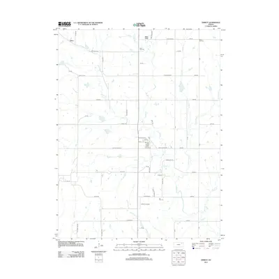
2012 Map of Emmett
USGS Topo · Published 2012About this map
Emmett stands as the primary residential hub in this part of Pottawatomie County, characterized by a grid of streets including Main St and Walker St centered around the local Po. The surrounding landscape is defined by a dense network of creek systems, most notably Cross Cr and its tributaries like Little Cross Cr and Bartlett Cr, which dictate the rural road patterns. Smaller settlements such as Saint Clere and Aikins are connected by a mix of named county roads and private routes like Jess Willard Rd. Genealogists will find several burial sites including Saint Clere Cem, Mount Olive Cem, and Holy Cross Cem distributed across the township. Further south, St Mary's Airpark and the winding path of Bourbonais Cr highlight the transition toward more open terrain near the Kansas River valley.
Find a feature on this map
60 named features on this map. Tap any name to fly to it.
Don’t see what you’re looking for? This feature index may not catch every label — zoom into the map to look around manually.
Map Details
Editions of this 2012 Emmett Map
This is the sole edition of this map. No revisions or reprints were ever made.
Other maps of this area

1889 · Wamego
USGS Topo · 1:125,000

1889 · Topeka
USGS Topo · 1:125,000

1894 · Topeka
USGS Topo · 1:125,000

1894 · Wamego
USGS Topo · 1:125,000

1950 · Kansas City
USGS Topo · 1:250,000

1952 · Rossville
USGS Topo · 1:24,000

1953 · Belvue
USGS Topo · 1:24,000

1953 · St Marys
USGS Topo · 1:24,000

1954 · Kansas City
USGS Topo · 1:250,000

1955 · Manhattan
USGS Topo · 1:250,000