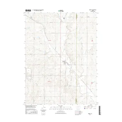
2015 Map of Emmett
USGS Topo · Published 2015About this map
Saint Clere and Emmett anchor this portion of the Kansas landscape, where the border between Pottawatomie and Jackson counties follows the north-south line of America City Rd. The area is defined by an intricate network of waterways, including Bartlett Cr, Cross Cr, and the converging flows of Little Noxie Cr and Big Noxie Cr. These streams carve through the terrain, influencing the placement of early rural roads like Aiken Switch Rd and Rezac Rd.
Find a feature on this map
57 named features on this map. Tap any name to fly to it.
Don’t see what you’re looking for? This feature index may not catch every label — zoom into the map to look around manually.
Map Details
Editions of this 2015 Emmett Map
This is the sole edition of this map. No revisions or reprints were ever made.
Other maps of this area
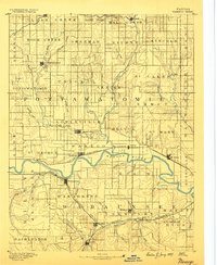
1889 · Wamego
USGS Topo · 1:125,000
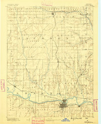
1889 · Topeka
USGS Topo · 1:125,000
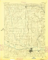
1894 · Topeka
USGS Topo · 1:125,000
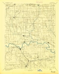
1894 · Wamego
USGS Topo · 1:125,000
1950 · Kansas City
USGS Topo · 1:250,000
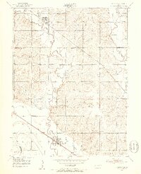
1952 · Rossville
USGS Topo · 1:24,000
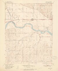
1953 · Belvue
USGS Topo · 1:24,000
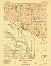
1953 · St Marys
USGS Topo · 1:24,000
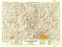
1954 · Kansas City
USGS Topo · 1:250,000

1955 · Manhattan
USGS Topo · 1:250,000