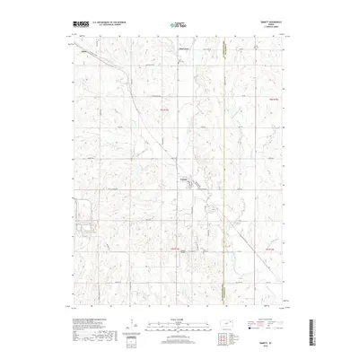
2018 Map of Emmett
USGS Topo · Published 2018About this map
Emmett stands as the central hub of this eastern Kansas landscape, where the grain-belt terrain is dissected by a dense network of drainages. The topography is defined by the winding courses of Cross Cr and its many tributaries, including Bartlett Cr, Big Noxie Cr, and Bourbonais Cr. To the north, the small settlement of Saint Clere and the nearby Saint Clere Cem indicate established rural communities that have long managed these uplands. Further west, the name Aiken Switch Rd near Aikins points to the area's historical rail-side connections and early 20th-century transport infrastructure. The map illustrates a transition from traditional cemetery landmarks like Holy Cross Cem and Mount Olive Cem to modern utility at St Mary's Airpark south of the main township.
Find a feature on this map
55 named features on this map. Tap any name to fly to it.
Don’t see what you’re looking for? This feature index may not catch every label — zoom into the map to look around manually.
Map Details
Editions of this 2018 Emmett Map
This is the sole edition of this map. No revisions or reprints were ever made.
Other maps of this area

1889 · Wamego
USGS Topo · 1:125,000

1889 · Topeka
USGS Topo · 1:125,000

1894 · Topeka
USGS Topo · 1:125,000

1894 · Wamego
USGS Topo · 1:125,000

1950 · Kansas City
USGS Topo · 1:250,000

1952 · Rossville
USGS Topo · 1:24,000

1953 · Belvue
USGS Topo · 1:24,000

1953 · St Marys
USGS Topo · 1:24,000

1954 · Kansas City
USGS Topo · 1:250,000

1955 · Manhattan
USGS Topo · 1:250,000