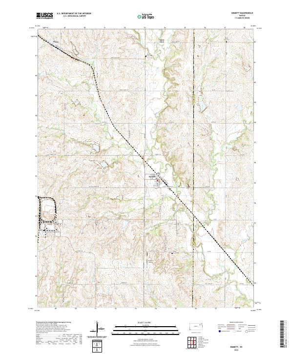
2022 Map of Emmett
USGS Topo · Published 2022About this map
Emmett and Saint Clere anchor this rural landscape along the boundary of Pottawatomie Co and Jackson Co. The terrain is defined by an intricate network of waterways, including Cross Cr, Bartlett Cr, and Little Cross Cr, which carve through the Kansas prairie. Local history is preserved in several dedicated spaces, such as Saint Clere Cem and Mount Olive Cem to the north, and Holy Cross Cem further south. Modern aviation infrastructure is represented by St Mary's Airpark, while the rail history of the region is evoked by the presence of Aikins and Aiken Switch Rd in the northwest. This topography reveals a community structured around both its drainage basins and a traditional section-line road system including Emmett Rd and Crystal Springs Rd.
Find a feature on this map
55 named features on this map. Tap any name to fly to it.
Don’t see what you’re looking for? This feature index may not catch every label — zoom into the map to look around manually.
Map Details
Editions of this 2022 Emmett Map
This is the sole edition of this map. No revisions or reprints were ever made.
Other maps of this area

1889 · Wamego
USGS Topo · 1:125,000

1889 · Topeka
USGS Topo · 1:125,000

1894 · Topeka
USGS Topo · 1:125,000

1894 · Wamego
USGS Topo · 1:125,000

1950 · Kansas City
USGS Topo · 1:250,000

1952 · Rossville
USGS Topo · 1:24,000

1953 · Belvue
USGS Topo · 1:24,000

1953 · St Marys
USGS Topo · 1:24,000

1954 · Kansas City
USGS Topo · 1:250,000

1955 · Manhattan
USGS Topo · 1:250,000