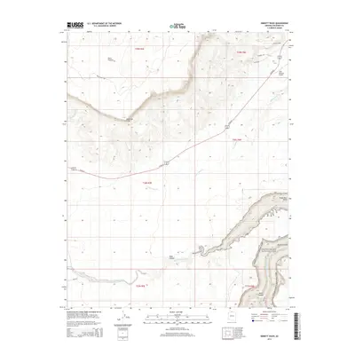
2014 Map of Emmett Wash
USGS Topo · Published 2014About this map
Vermilion Cliffs dominate the central landscape of this Coconino County region, where the high desert terrain of the Paria Plateau drops precipitously toward the Colorado River corridor. This 2014 survey documents the rugged intersection of massive geological formations and modern transportation routes, notably US 89-Alt as it traverses the House Rock Valley. The southeastern portion of the map is defined by the deep incision of Marble Canyon and the northern boundary of Grand Canyon National Park. Local aviation and ranching history are represented by the Cliff Dwellers Airport and several private roads like Mariah's Way. The map also traces the complex drainage systems of the high desert, including the winding course of Emmett Wash and S Fork Soap Cr, which carve through the arid plateaus toward the Colorado River.
Find a feature on this map
26 named features on this map. Tap any name to fly to it.
Don’t see what you’re looking for? This feature index may not catch every label — zoom into the map to look around manually.
Map Details
Editions of this 2014 Emmett Wash Map
This is the sole edition of this map. No revisions or reprints were ever made.
Other maps of this area
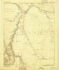
1886 · Echo Cliffs
USGS Topo · 1:250,000
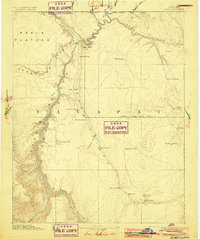
1891 · Echo Cliffs
USGS Topo · 1:250,000
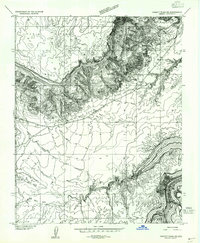
1954 · Emmett Wash NE
USGS Topo · 1:24,000
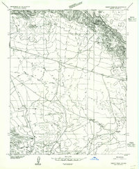
1954 · Emmett Wash NW
USGS Topo · 1:24,000
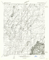
1954 · Paria Plateau SE
USGS Topo · 1:24,000
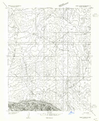
1954 · Paria Plateau SW
USGS Topo · 1:24,000
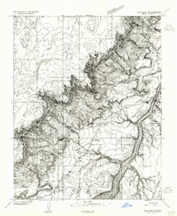
1954 · Lees Ferry SW
USGS Topo · 1:24,000
1954 · Tanner Wash
USGS Topo · 1:62,500
1954 · Emmett Wash
USGS Topo · 1:62,500
1954 · Lees Ferry
USGS Topo · 1:62,500