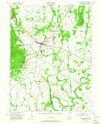
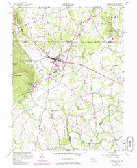
1953 Map of Emmitsburg
USGS Topo · Published 1965About this map
The Mason and Dixon Line defines the northern edge of this landscape, separating Liberty and Freedom townships from the Maryland countryside. At the heart of the region, Emmitsburg serves as a significant institutional hub, anchored by Mount St Marys College and St Josephs College along the slopes of College Mountain. The area is characterized by its numerous religious and educational sites, including St Anthony and the Toms Creek Ch.
Find a feature on this map
42 named features on this map. Tap any name to fly to it.
Don’t see what you’re looking for? This feature index may not catch every label — zoom into the map to look around manually.
Map Details
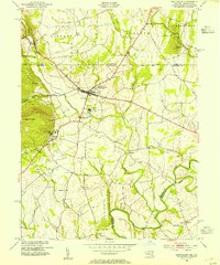
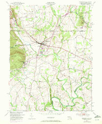
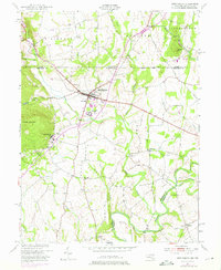
Editions of this 1953 Emmitsburg Map
5 editions found
Other maps of this area

1908 · Gettysburg
USGS Topo · 1:62,500

1909 · Fairfield
USGS Topo · 1:62,500

1911 · Taneytown
USGS Topo · 1:62,500

1911 · Emmitsburg
USGS Topo · 1:62,500

1942 · Gettysburg
USGS Topo · 1:125,000

1943 · Emmitsburg
USGS Topo · 1:62,500

1944 · Union Bridge
USGS Topo · 1:31,680
1944 · Catoctin Furnace
USGS Topo · 1:31,680

1944 · Gettysburg
USGS Topo · 1:31,680
1944 · Blue Ridge Summit
USGS Topo · 1:31,680