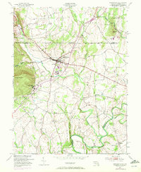
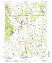
1953 Map of Emmitsburg
USGS Topo · Published 1972About this map
The Mason and Dixon Line serves as the northern boundary of this map, demarcating the historic border between Pennsylvania and Maryland. Centered on the town of Emmitsburg, the landscape is defined by its prominent educational and religious institutions, including St Josephs College and Mount St Marys College, which sit beneath the rising slopes of College Mountain. This mid-century survey captures the region as a network of small agricultural hubs such as Motters, Zora, and Keysville. The drainage pattern is led by the Monocacy River and Toms Creek, with the latter featuring the historic Toms Creek Ch. Smaller landmarks like Shanks Mill and Sixes Bridge reflect the local rural infrastructure, while various burial grounds like St Josephs Cem and Mountain View Cem offer valuable points of reference for genealogical research in Frederick County.
Find a feature on this map
41 named features on this map. Tap any name to fly to it.
Don’t see what you’re looking for? This feature index may not catch every label — zoom into the map to look around manually.
Map Details
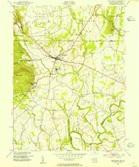
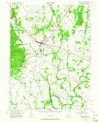
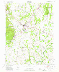
Editions of this 1953 Emmitsburg Map
5 editions found
Other maps of this area

1908 · Gettysburg
USGS Topo · 1:62,500

1909 · Fairfield
USGS Topo · 1:62,500

1911 · Taneytown
USGS Topo · 1:62,500

1911 · Emmitsburg
USGS Topo · 1:62,500

1942 · Gettysburg
USGS Topo · 1:125,000

1943 · Emmitsburg
USGS Topo · 1:62,500

1944 · Union Bridge
USGS Topo · 1:31,680
1944 · Catoctin Furnace
USGS Topo · 1:31,680

1944 · Gettysburg
USGS Topo · 1:31,680
1944 · Blue Ridge Summit
USGS Topo · 1:31,680