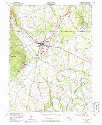
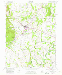
1953 Map of Emmitsburg
USGS Topo · Published 1985About this map
The Mason And Dixon Line bisects this landscape, marking the historic boundary between Pennsylvania and Maryland as it was surveyed in the mid-20th century. Centered on the borough of Emmitsburg, the map documents a region defined by its prominent Catholic educational institutions, including Mount St Marys College at the base of College Mountain and St Josephs College near the town center. The terrain transitions from the heights of Turkey Valley in the west to the fertile agricultural lands of the Cumberland Valley in the northeast.
Find a feature on this map
40 named features on this map. Tap any name to fly to it.
Don’t see what you’re looking for? This feature index may not catch every label — zoom into the map to look around manually.
Map Details
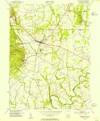
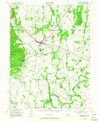
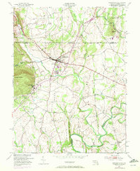
Editions of this 1953 Emmitsburg Map
5 editions found
Other maps of this area

1908 · Gettysburg
USGS Topo · 1:62,500

1909 · Fairfield
USGS Topo · 1:62,500

1911 · Taneytown
USGS Topo · 1:62,500

1911 · Emmitsburg
USGS Topo · 1:62,500

1942 · Gettysburg
USGS Topo · 1:125,000

1943 · Emmitsburg
USGS Topo · 1:62,500

1944 · Union Bridge
USGS Topo · 1:31,680
1944 · Catoctin Furnace
USGS Topo · 1:31,680

1944 · Gettysburg
USGS Topo · 1:31,680
1944 · Blue Ridge Summit
USGS Topo · 1:31,680