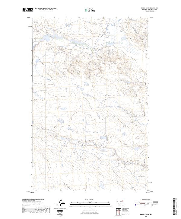
2024 Map of Emond Ranch
USGS Topo · Published 2024About this map
Beaver Creek meanders through this section of Phillips County, carving a valley across the northern township. The landscape is defined by its drainage patterns, where significant depressions like Alkali Coulee and Tank Coulee stretch across the open terrain. These natural features dictated the early placement of rural routes such as Emond Rd and Regina Rd, which skirt the coulees and high ground. Toward the south, the headwaters of First Creek and its tributary, North Fork First Creek, illustrate the subtle but critical hydrography of the Montana plains. The map preserves the ranching layout of the modern era, showing how property boundaries and gravel roads like Ereaux Rd follow the traditional township and range lines of the Public Land Survey System.
Find a feature on this map
12 named features on this map. Tap any name to fly to it.
Don’t see what you’re looking for? This feature index may not catch every label — zoom into the map to look around manually.
Map Details
Editions of this 2024 Emond Ranch Map
This is the sole edition of this map. No revisions or reprints were ever made.
Other maps of this area

1953 · Havre
USGS Topo · 1:250,000

1954 · Jordan
USGS Topo · 1:250,000

1954 · Glasgow
USGS Topo · 1:250,000

1954 · Lewistown
USGS Topo · 1:250,000

1956 · Jordan
USGS Topo · 1:250,000

1957 · Glasgow
USGS Topo · 1:250,000

1957 · Havre
USGS Topo · 1:250,000

1958 · Glasgow
USGS Topo · 1:250,000

1958 · Jordan
USGS Topo · 1:250,000

1958 · Havre
USGS Topo · 1:250,000