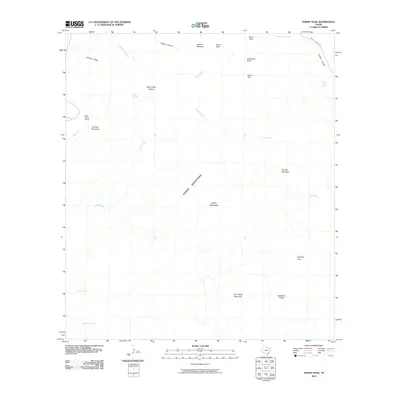
2010 Map of Emory Peak
USGS Topo · Published 2010About this map
The Chisos Mountains dominate this 2010 landscape, a region defined by high-elevation peaks and deeply etched drainages. Central to the sheet is the towering Emory Peak, with landmark formations such as Boot Rock and South Rim providing a high-country frame for the Laguna Meadow below. Human presence is sparse, centered primarily on the historic Blue Creek Ranch and the winding Juniper Canyon Rd that leads toward the spring-fed canyons in the northeast.
Find a feature on this map
28 named features on this map. Tap any name to fly to it.
Don’t see what you’re looking for? This feature index may not catch every label — zoom into the map to look around manually.
Map Details
Editions of this 2010 Emory Peak Map
This is the sole edition of this map. No revisions or reprints were ever made.
Other maps of this area
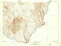
1903 · Chisos Mountains
USGS Topo · 1:125,000
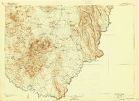
1905 · Chisos Mountains
USGS Topo · 1:125,000
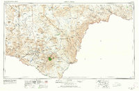
1959 · Emory Peak
USGS Topo · 1:250,000
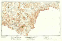
1965 · Emory Peak
USGS Topo · 1:250,000
1971 · Glenn Spring
USGS Topo · 1:24,000
1971 · Cerro Castellan
USGS Topo · 1:24,000
1971 · Reed Camp
USGS Topo · 1:24,000
1971 · Tule Mountain
USGS Topo · 1:24,000
1971 · Smoky Creek
USGS Topo · 1:24,000
1971 · Emory Peak
USGS Topo · 1:24,000